
Wisconsin Airports
|
 Major Wisconsin airports include the Austin Straubel International Airport in Green Bay,
the Central Wisconsin Airport in Mosinee,
the Chippewa Valley Regional Airport in Eau Claire,
the Dane County Regional Airport in Madison,
the General Mitchell International Airport in Milwaukee,
the La Crosse Municipal Airport,
the Appleton International Airport in Appleton, and
the Rhinelander-Oneida County Airport.
Major Wisconsin airports include the Austin Straubel International Airport in Green Bay,
the Central Wisconsin Airport in Mosinee,
the Chippewa Valley Regional Airport in Eau Claire,
the Dane County Regional Airport in Madison,
the General Mitchell International Airport in Milwaukee,
the La Crosse Municipal Airport,
the Appleton International Airport in Appleton, and
the Rhinelander-Oneida County Airport.
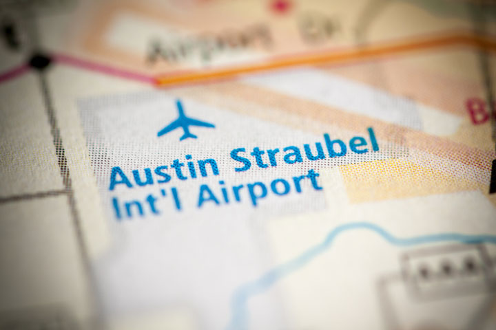
General Mitchell International Airport, the largest airport in Wisconsin, is close enough to northern Illinois to be considered a third Chicago airport. The photo to the right depicts the location of Austin Straubel International Airport in Green Bay.
Interactive Wisconsin Airports Map
This section features an airport locator map that can be zoomed and panned to show the state of Wisconsin and its neighbors or a small region of the state. Use the plus (+) and minus (-) buttons to zoom the map in and out, respectively. Simply swipe or drag the map to pan it in any direction. The airport markers on this Wisconsin map can help travelers find IATA-designated airports in the state and plan their air travel arrangements more efficiently.
FAA Wisconsin Airport Locator Map
This Wisconsin airport map shows FAA-designated commercial service airports, reliever airports, and general aviation airports in the State of Wisconsin. Primary airports are designated with an airplane symbol.

Copyright © State-Maps.org. All rights reserved.
Wisconsin airport map source: FAA 2001-2005 NPIAS.
Wisconsin airport map source: FAA 2001-2005 NPIAS.